Mapping of intertidal habitats in Risør municipality
Marine Management
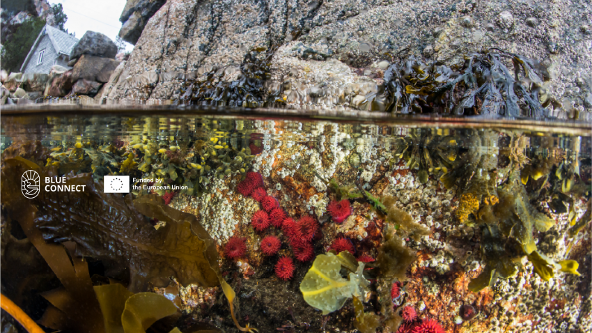
SALT mapped marine habitats and species in the intertidal zone along the shoreline from Flisvika to Randvik. The project was commissioned by Risør municipality as part of plans to establish a new coastal trail.
The survey revealed several important marine habitats, dominated by seaweed communities and sugar kelp. Other habitat types were also found, though in smaller areas, including blue mussel beds, shallow sandy bottoms, rocky shores in the tidal and sublittoral zones, finger kelp, and eelgrass meadows.
The report provides a brief assessment of how the proposed coastal trail might influence these habitats, the species that depend on them, and the surrounding marine ecosystem.
Status
Ongoing
Client
Risør municipality
Project leader
Team members
Source of funding
Risør municipality
SALT office
Arendal
Similar projects
Mapping of intertidal habitats in Risør municipality
Phone number
+47 919 22 802
E-mail
Phone number
+47 919 22 802
E-mail


